
GPS-based Solutions
GPS TrackMaker Pro 5.2
Capture satellite imagery and build georeferenced offline mosaics with GPS TrackMaker Pro (GTM Pro). Without the complexity of traditional GIS systems, with an intuitive interface and professional-grade results.
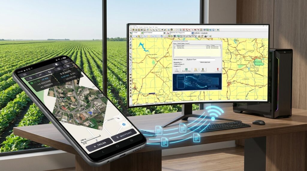
Calculate areas, digitize over the images, transfer data to Excel, and export to AutoCAD, ArcGIS, and ArcView. Import images from Google Maps, export to Google Earth, and open OpenStreetMap vector maps. Then take the finished map to your phone. The GPS TrackMaker app for Android shows everything offline, records tracks and waypoints in the field, and sends the data back to your computer over the internet — no cables.
Built for farmers and ranchers, agronomists, real estate professionals, mining specialists, surveyors, geologists, geographers, and anyone who needs to organize geographic data day to day. Compatible with Windows 10 and 11.
GPS TrackMaker 15.1 Free
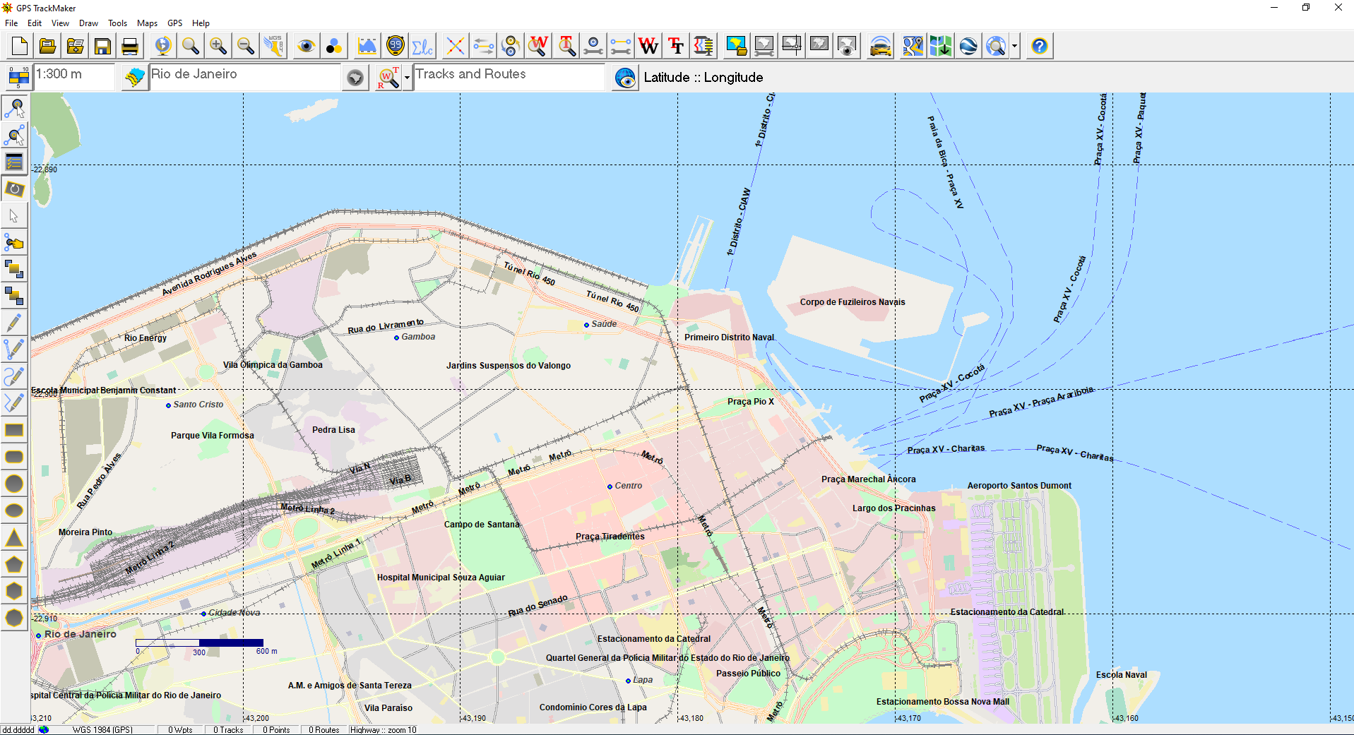
GPS TrackMaker is the free program for users who work with handheld GPS receivers such as Garmin and others. More than one million downloads over two decades, with full support for data transfer via the GPS cable.
Send and receive waypoints, tracks and routes through your GPS cable, calibrate raster map images, use multiple coordinate systems with more than 280 datum parameters, export to Google Earth (KML, 3D view, real-time navigation via NMEA0183). More than 260 waypoint icons and support for high-speed background vector maps.
Runs on Windows 10 and 11. For advanced features such as OpenStreetMap vector access, satellite image mosaics, professional vectorization over raster imagery, direct export to AutoCAD and ArcGIS, and other professional capabilities, see GPS TrackMaker Pro.
Tracking Solutions
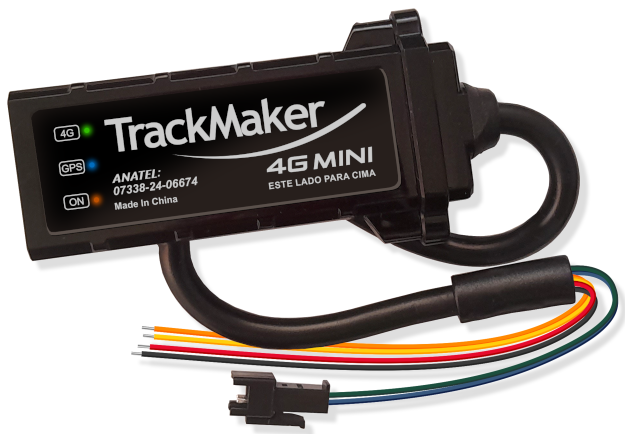
If you’re looking for a complete vehicle tracking solution that includes both software and hardware, you’re in the right place.
We developed every component needed for vehicle tracking, including the software that runs on the internet server, the desktop program, and the smartphone app.
We also build the tracker modules with our own technology, perfectly compatible with our tracking software. The whole stack is engineered to work together, with no headaches.
Note: this service is currently available in Latin America only.
Numbers tell the story
Two decades. A million mappers. One trusted GPS platform.
+25
years of uninterrupted development