
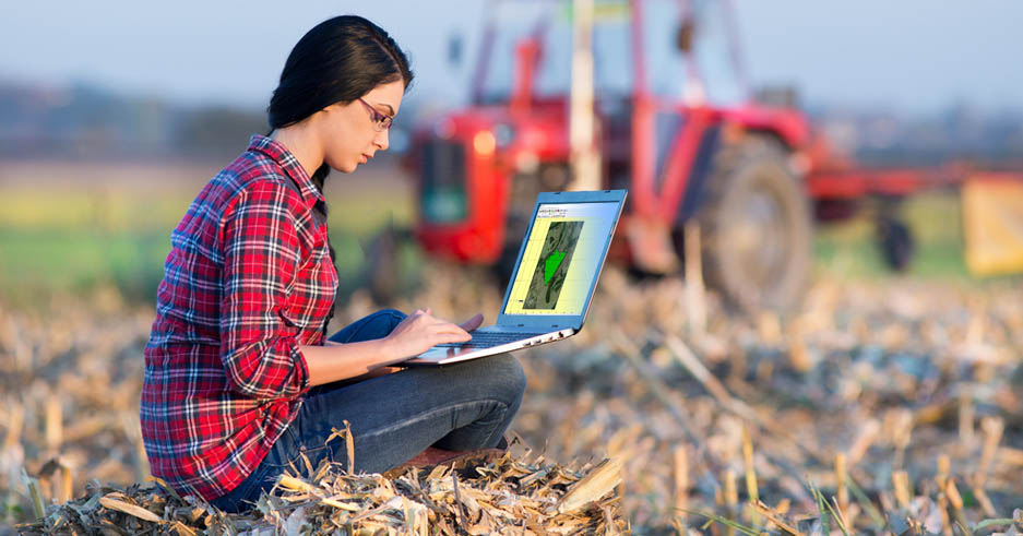
GPS TrackMaker Pro® 5.1 for Windows
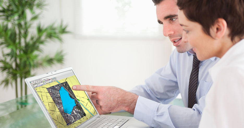
Capture satellite images and create perfect georeferenced mosaics for offline use. No more GIS complexity, with difficult geodetic definitions. Use the program like Microsoft Paint to create high definition georeferenced vector maps over satellite images. All very easy and quick to use. Calculte areas, distances and export data to AutoCad®, ArcView®, QGIS, Excel® and others. Integration with Google Maps® and Google Earth®. Compatible with Windows 10 and 11.

GPS TrackMaker® Free
Most complete free program for GPS devices Compatible with more than 160 GPS models Support for Garmin, Magellan and others. Easily create your own maps. Support for vector maps and images. Vehicle Tracking and AVL Completely free. No Adware, Spyware, ...
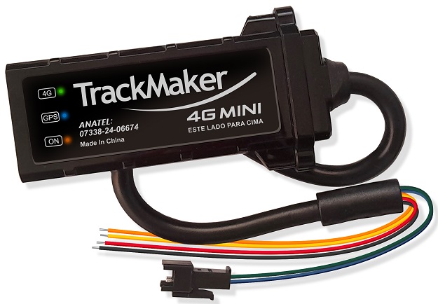
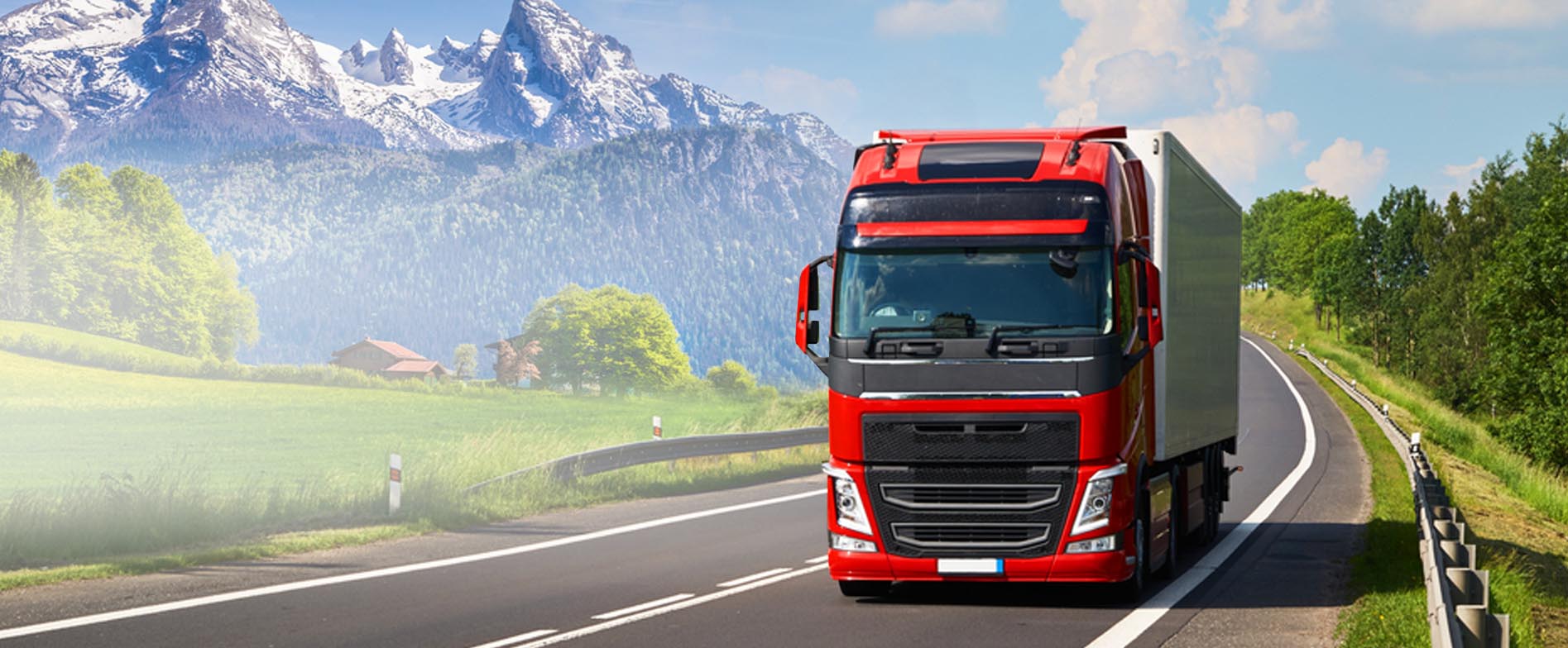
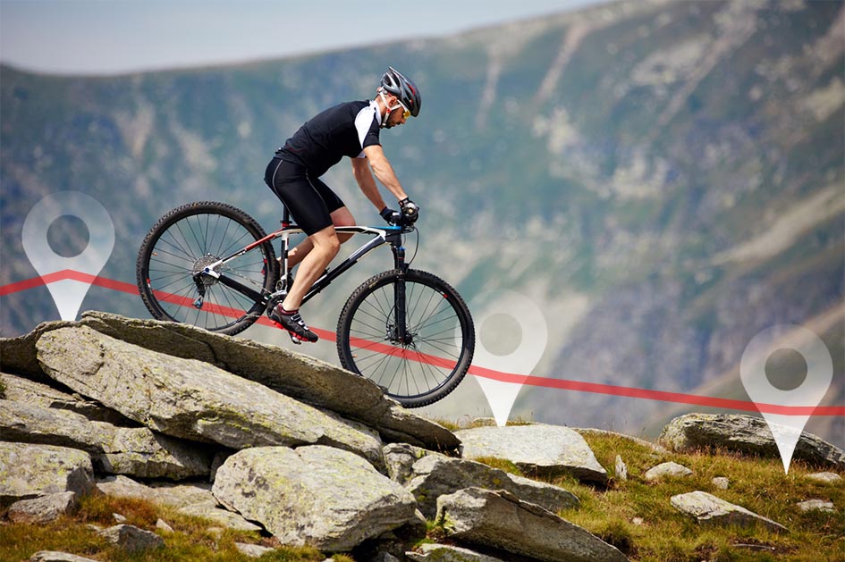
TRACKING SOLUTIONS
Our solutions are intended for the Latin American markets.
If you're looking for a complete vehicle tracking solution that includes both software and hardware, you're in the right place. We develop all the necessary systems for vehicle tracking, including the software that runs on the internet server, the program for your desktop, and the smartphone app. We design tracker modules with our own technology that are perfectly compatible with our tracking software. This way, you can be sure that everything will work seamlessly.
If you're looking for a complete vehicle tracking solution that includes both software and hardware, you're in the right place. We develop all the necessary systems for vehicle tracking, including the software that runs on the internet server, the program for your desktop, and the smartphone app. We design tracker modules with our own technology that are perfectly compatible with our tracking software. This way, you can be sure that everything will work seamlessly.