


GPS TRACKMAKER® PRO 5.1 for WINDOWS
Geographic Information, Made Simple
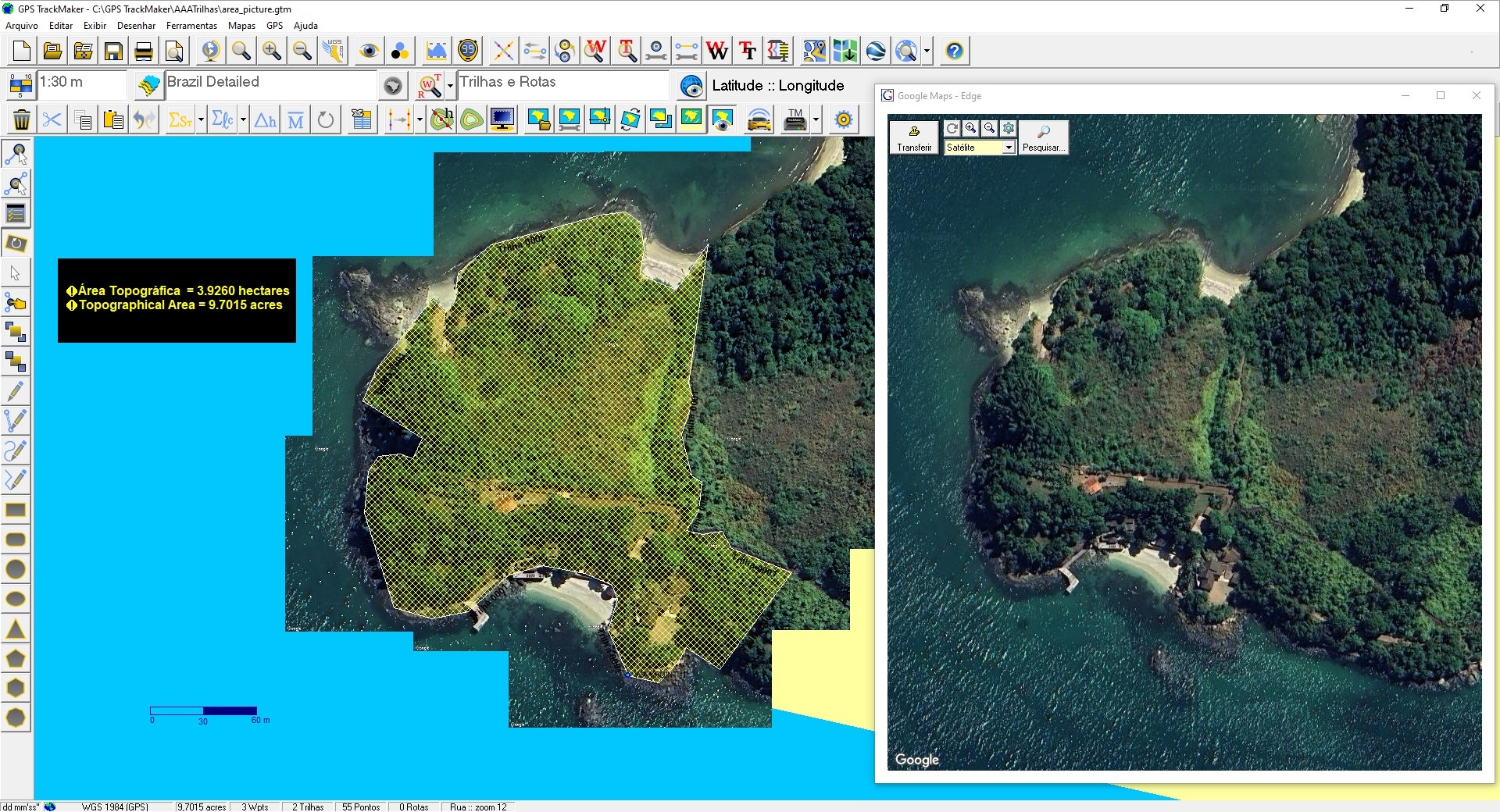
- Capture satellite images and create perfect georeferenced mosaics for offline use.
- Download millions of royalty-free, editable vector maps of the entire world from our servers, based on OpenStreetMap data.
- No GIS complexity or difficult geodetic settings. Use the software like Microsoft Paint to create high-definition, georeferenced vector maps over satellite images. Everything is easy and fast to use.
- Calculate areas and distances, and export data to AutoCAD®, ArcView®, QGIS, Excel®, and other applications.
- Compatible with Windows 10 and 11.
Ideal for:
-
Farmers and Agronomists
-
Real Estate Professionals
-
Mining and Exploration Professionals
-
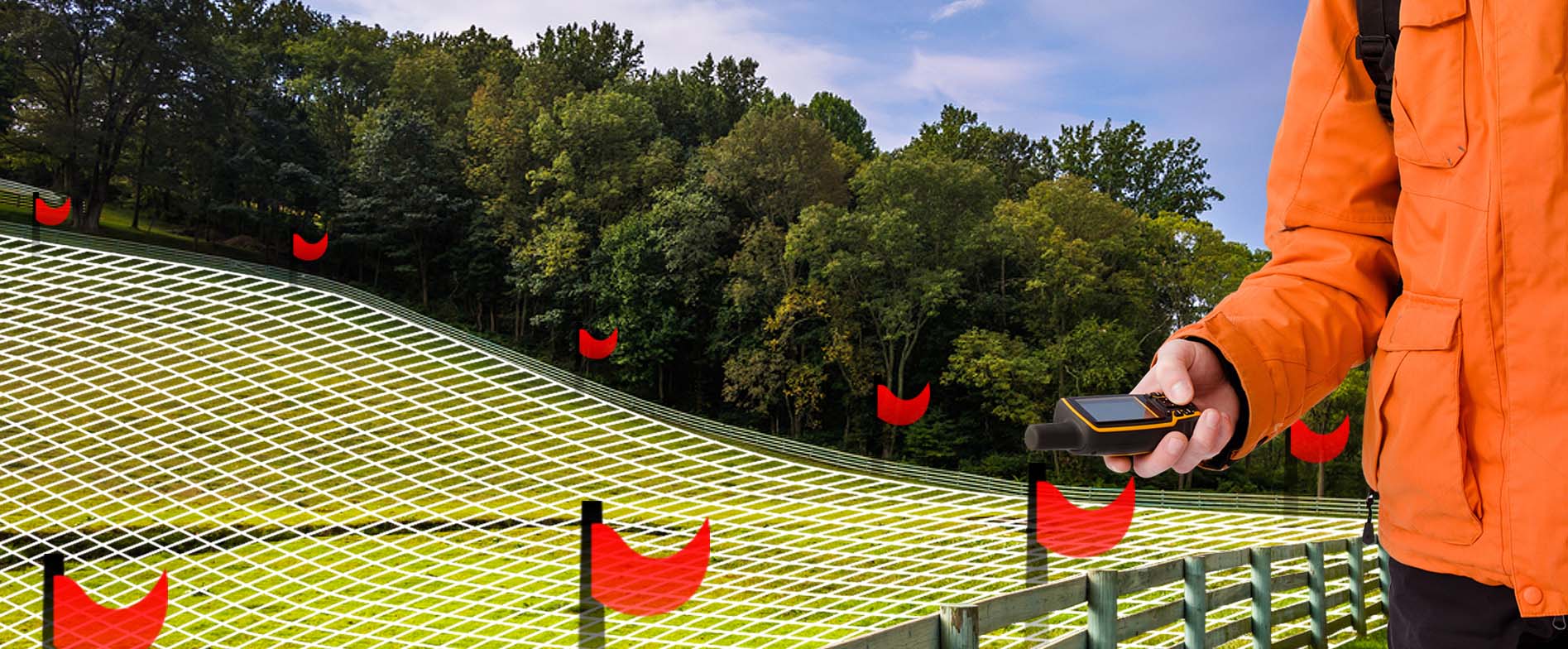
Surveyors and Land Measurement Professionals
-
Geologists and GIS Specialists
-
Engineers and Field Professionals
-
Anyone working with GPS or geographic data
Buy and Start Using Now
Just one project completed with GPS TrackMaker® can pay for over 10 years of subscription.
What are you waiting for?
GPS TrackMaker PRO 5.x
Choose your license and get started. Online activation • Windows 10 & 11
Over 65,000 licenses sold
Option 1
License for 1 Computer
Use on one computer
GPS TrackMaker Pro 5.x • Annual Subscription
- Download version
- Internet connection required
- Compatible with Windows 10 & 11
US$69 / year
US$69 per computer
RECOMMENDED
Option 2
License for 2 Computers
Use on 2 computers at the same time!
GPS TrackMaker Pro 5.x • Annual Subscription
- Download version
- Internet connection required
- Compatible with Windows 10 & 11
- Perfect for PC + laptop
Best value: 2 computers for only US$20 more.
US$89 / year
Only US$44.50 per computer
* Annual subscription. Internet connection required for use and license validation. Prices in US dollars (US$).
What GPS TRACKMAKER® PRO offers to you?
All mapping tools in one software, including advanced GIS tools. Click the button below to see all features.
Not sure if GPS TRACKMAKER® PRO is for you?
Try our popular GPS TrackMaker® Free which has some features of the professional version. Once you become familiar with the software, upgrade to the PRO version.